
Esri Press · ENSTK
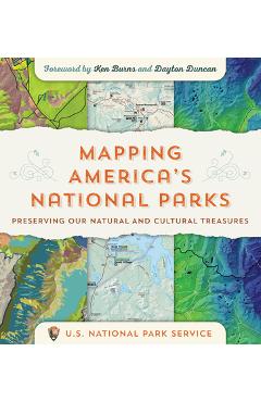
Mapping America's National Parks: Preserving Our Natural and Cultural Treasures - Ken Burns
EAN: 9781589485464
Compară ofertele (1)
Prețurile sunt preluate automat din feed-urile magazinelor și pot diferi față de site-ul magazinului. Verifică prețul final la magazin.
Descriere Mapping America's National Parks: Preserving Our Natural and Cultural Treasures - Ken Burns
\n \nGet an insider look at the US National Park Service to see how they use maps and geospatial technology to protect and manage America's national parks.\n \nMaps easily cap your first greeting upon arrival at a national park, allowing you to visualize its vastness, plan your trip, and keep a compact souvenir of your visit. But for the US National Park Service (NPS), maps do more than provide guidance and navigation. Maps help the NPS protect visitors and natural resources. They help manage fires, both unplanned and prescribed. They provide a basis for preserving cultural resources, such as archaeological sites and historic buildings, and for establishing needed facilities, infrastructure, and transportation.\n \nThe maps in Mapping America's National Parks: Preserving Our Natural and Cultural Treasures are not only beautiful representations of special places. Within the maps are layers of geographic information--a bevy of research and science--that the NPS uses to perform these myriad essential services and to ultimately fulfill their mission.\n \nWith over 240 full-color maps and photographs of national parks, monuments, battlefields, historic sites, lakeshores, seashores, scenic rivers and trails, and more, Mapping America's National Parks takes you on a journey through our most treasured locations and shows how geographic information system (GIS) software helps the NPS keep the balance between park enjoyment and preservation.\n \nThrough stories told by their own staff, discover how GIS helps the NPS: \n \n- provide security for individual wildlife species, members of a crowd at a peaceful demonstration, and entire ecosystems; \n- analyze where people most likely are stranded, where they are least likely stranded, and distribute assets in search and rescue operations; \n- develop strategic plans, budgets, and protection for fire management; and \n- share intelligence on wildlife trafficking, zoonotic diseases, field medicine protocols, and more. \nGo behind the scenes to see how mapping and geospatial analysis support the full range of NPS natural resource stewardship and science activities. With NPS planning aided by geospatial technology, future generations of park visitors--your children and their children--will be able to enjoy our national parks for years to come.\n
Detalii
- Brand
- Esri Press
- Categorie
- ENSTK
- EAN / GTIN
- 9781589485464
- Magazine
- 1
- Disponibilitate
- in stock
Produse similare
Esri Press
A to Z GIS: An Illustrated Dictionary of Geographic Information Systems -
227,78 RON
libris.ro

Esri Press
Local Voices, Local Choices: The Tacare Approach to Community-Led Conservation - Jane Goodall Institute
233,19 RON
libris.ro
Esri Press
Collaborative Cities: Mapping Solutions to Wicked Problems - Stephen Goldsmith
237,49 RON
libris.ro

Esri Press
The Geography of Hope: Real Life Stories of Optimists Mapping a Better World - David Yarnold
250,47 RON
libris.ro
Esri Press
ESRI Map Book, Volume 40 -
195,24 RON
libris.ro
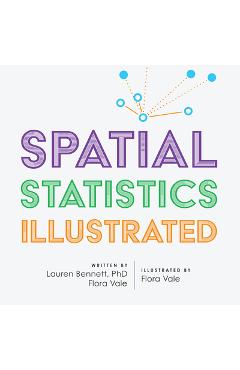
Esri Press
Spatial Statistics Illustrated - Lauren Bennett
276,39 RON
libris.ro
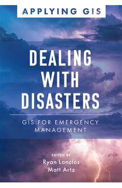
Esri Press
Dealing with Disasters: GIS for Emergency Management - Ryan Lanclos
156,18 RON
libris.ro

Esri Press
Designing Our Future: GIS for Architecture, Engineering & Construction - Kathleen Kewley
156,18 RON
libris.ro